In this post I'm carrying on with the "Where I Run" theme that I started last week with my post about Presqu'Ile Provincial Park, which is one of the places that I run an awful lot of miles in.
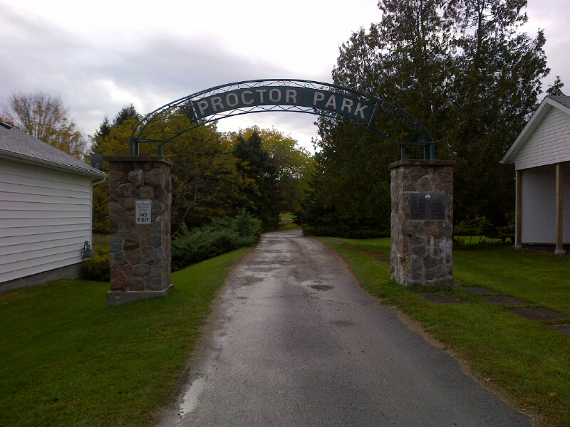
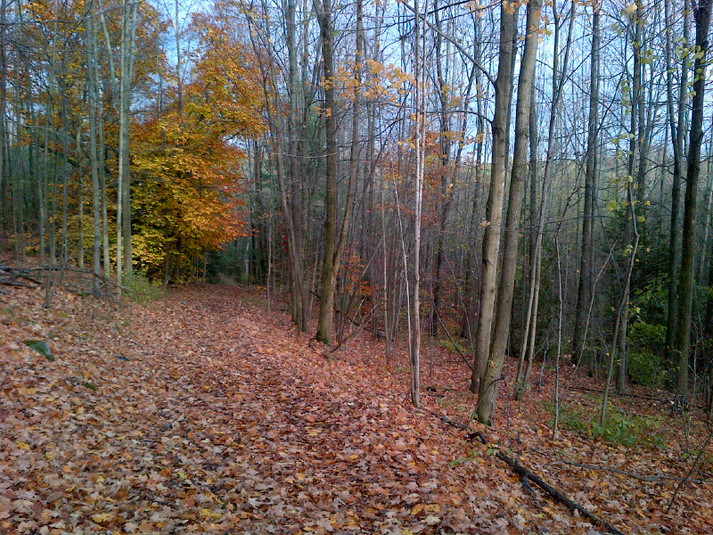
Today I'm writing about a tiny gem of a place that has a great assortment of trails. Proctor Park Conservation Area is a small park on the edge of the town I live in- it's just 3 blocks from main street, but once you drop down into the forest, you feel like you're a million miles away from civilization.
In order to help you understand the landscape a bit better, I'll tell you a bit more about the area I live in. My town is on the north shore of Lake Ontario, about 150km east of Toronto. Along much of the Lake Ontario shore it is quite flat for several km north, and then a ridge rises up- not too big, but still not too tiny. Proctor Park sits pretty much where the hills start.
The park itself isn't very big- it's only 91 acres, but the way the trails are laid out you can get a decent run in by running it in a figure 8, changing directions etc. Not enough to keep you going for hours, but for an hour on trails, and close to home, you can't beat it.
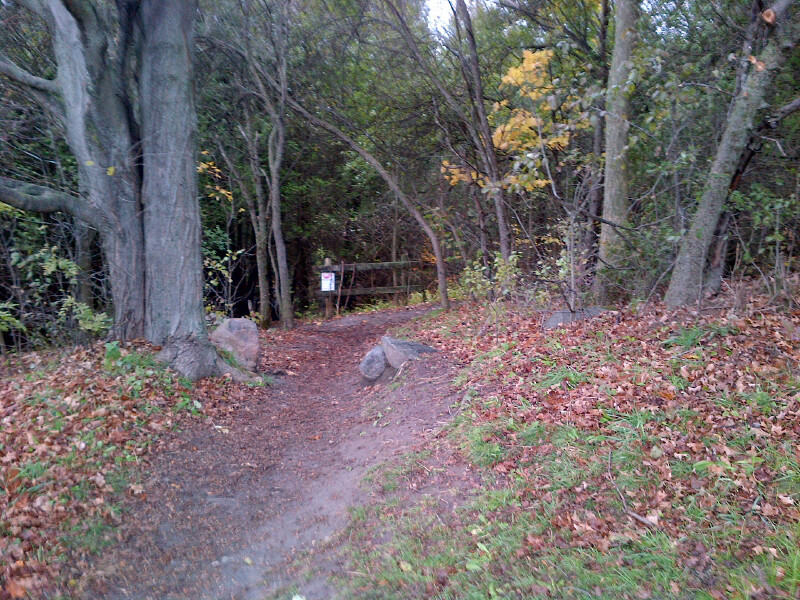
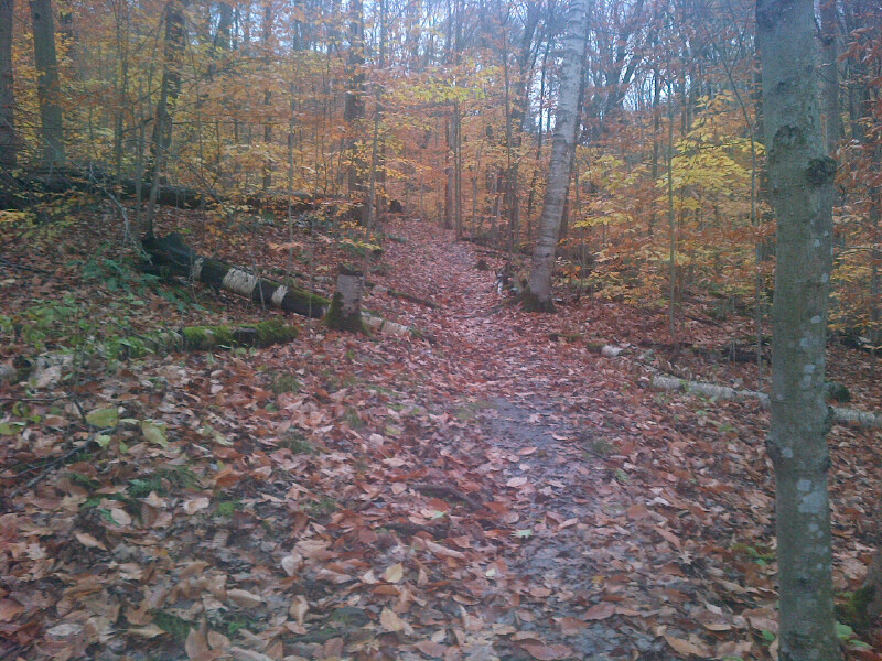
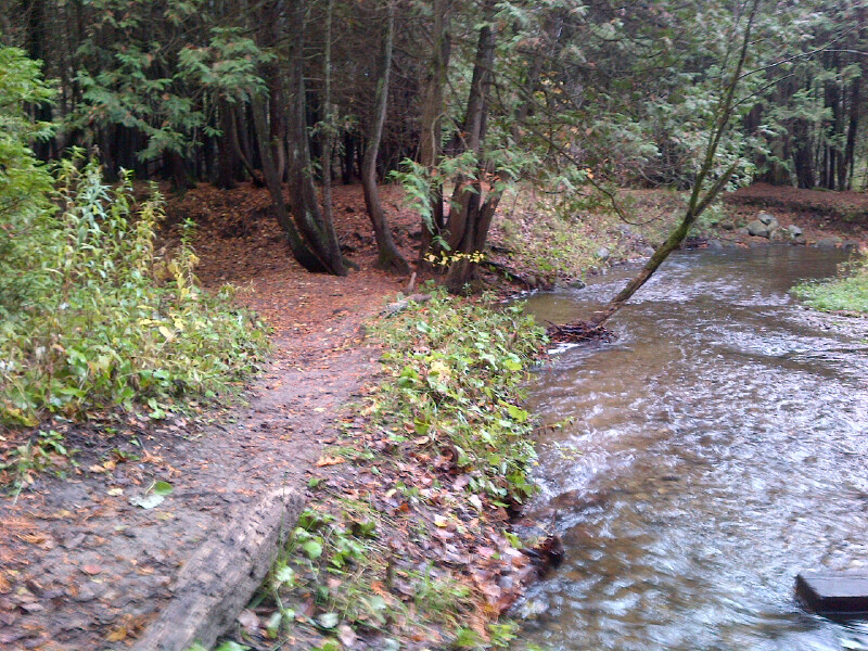
The first steps from the field into the trails drops you down a pretty steep hill to Butler Creek, which winds it's way through the park.
When you cross the creek you have an option to go either to the right or the left, and either way you're in the low part of the park, which is mostly covered in cedar trees. For this tour, we're going to head right.
This trail runs along the base of the big hill that you'll climb when you hit the back part of the part. Since there are no motorized vehicles allowed, there are no ruts to negotiate- just lots of slick clay, mud, roots, and rocks.
At the north end of the park you encounter the biggest hill- it's about 350m to the top, with a couple of very steep sections, and some very rooty sections. This hill is absolutely great for doing workouts on- I often run hard up this hill, then hard down the other side for an 800m circuit. You can really make your legs and lungs burn on this one.
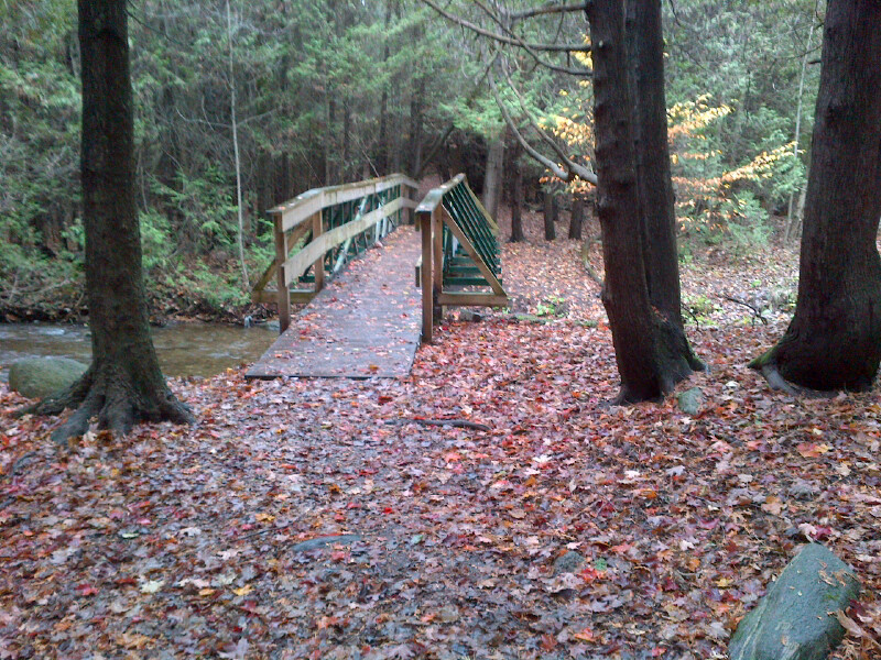
When you come over the top of the big hill, there's a steep downhill bit that brings you to a very steep ravine, where a creek flows in the springtime.
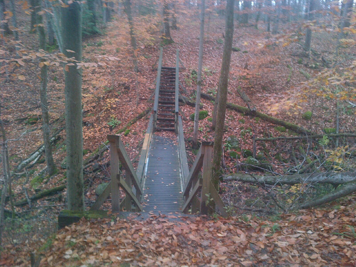
When you get across the bridge, you can turn left to go down the hill to the base of the big back hill again- this is the downhill portion of the 800m hill circuit I mentioned a few moments ago. This is probably my favourite stretch of trail- it's fairly smooth, and just steep enough that you can really fly without getting yourself into trouble.
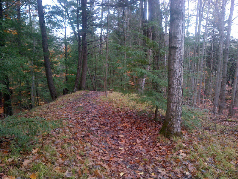
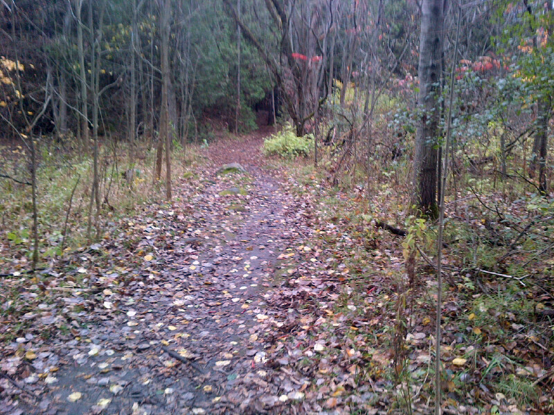
If you go right once you cross the bridge, it take you up to the top of a ridge, which drops down toward the creek on one side, and stretches out into old overgrown farm fields on the other side. The photo below is taken after climbing up that trail several hundred meters from the bridge and looking back.
Once you get to the high point on the ridge, there's another long downhill to take you back to the low ground along the creek. This hill isn't as steep as the big one at the north end of the park, but it stretches out for a long way, especially if you're climbing rather than descending.
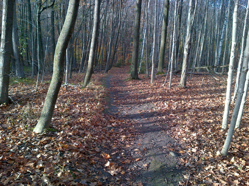
From here you get back into the same rocky, muddy type of trail that you first encounter when you cross the first bridge at the start of the trails. For our tour now, we'll assume that we've crossed that bridge on our way back out, and instead of heading back up that short steep hill to get back to the field and parking lot, we'll head right and follow the creek for a bit. This portion of trail is about 750m long before you hit the boundary of the park and have to climb up another trail to get out to the field and parking lot.
That brings us to the end of our tour of Proctor Park. It's not big, but it's very pretty, and has some challenging terrain, and best of all, it's close to home. I may not have trails like there are in the Rockies or the Appalachians, but I make do with what I've got, and I'm very thankful for this place.

 RSS Feed
